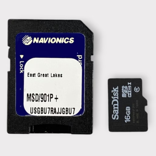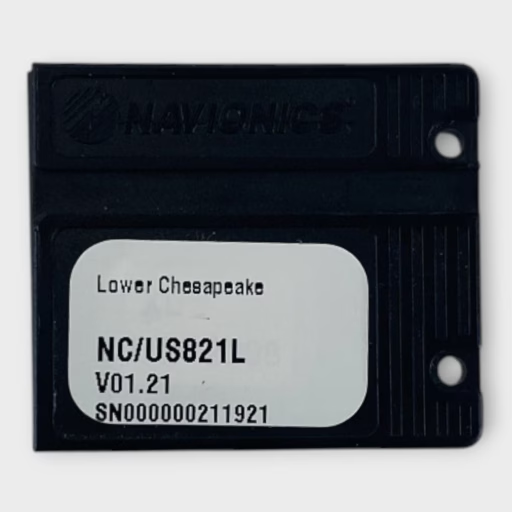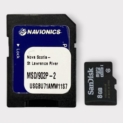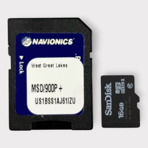
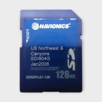


Manufacturer: Navionics
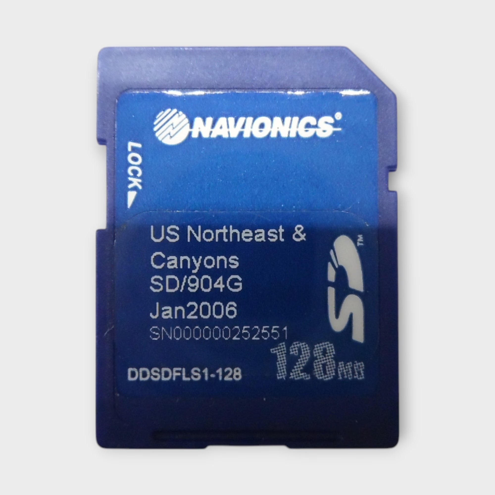
Model Number: SD/904G
Series: SD Chart Card
Listed Item Condition: Used
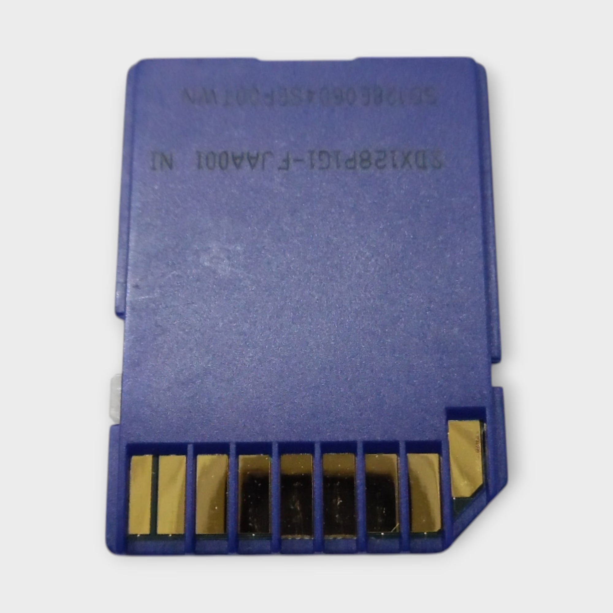
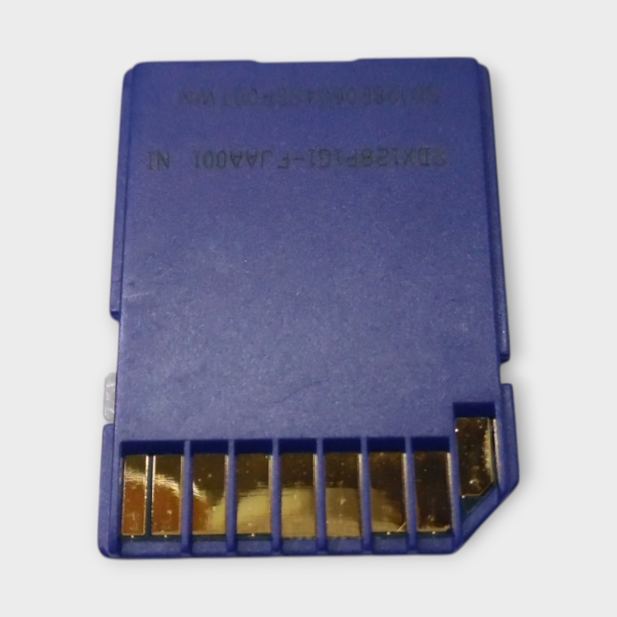
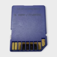
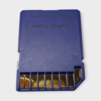
This Navionics SD Chart Card is in great used condition. This listing is for the SD Chart Card only. This is not a Micro SD card!***
You can subscribe to Navionics and update the charts on this card if needed.
We tested this card using a Raymarine e125 MFD. This card can be used in various electronics manufacturers such as Raymarine, Furuno, Simrad & B&G –
**PLEASE NOTE: This card will not work in Garmin-branded multifunction displays.**
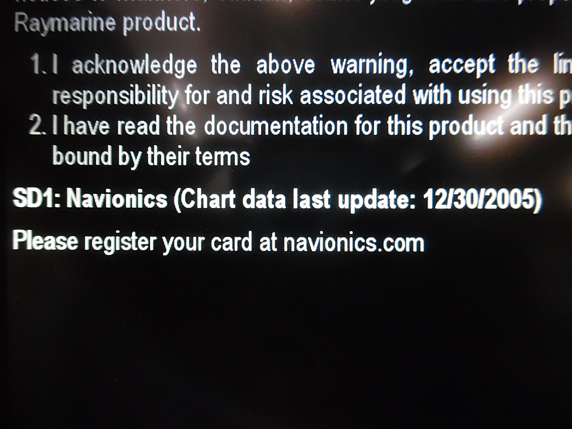
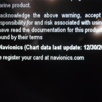
Cartography: Northeast & Canyons (MSD/904G+) – Jan. 2006
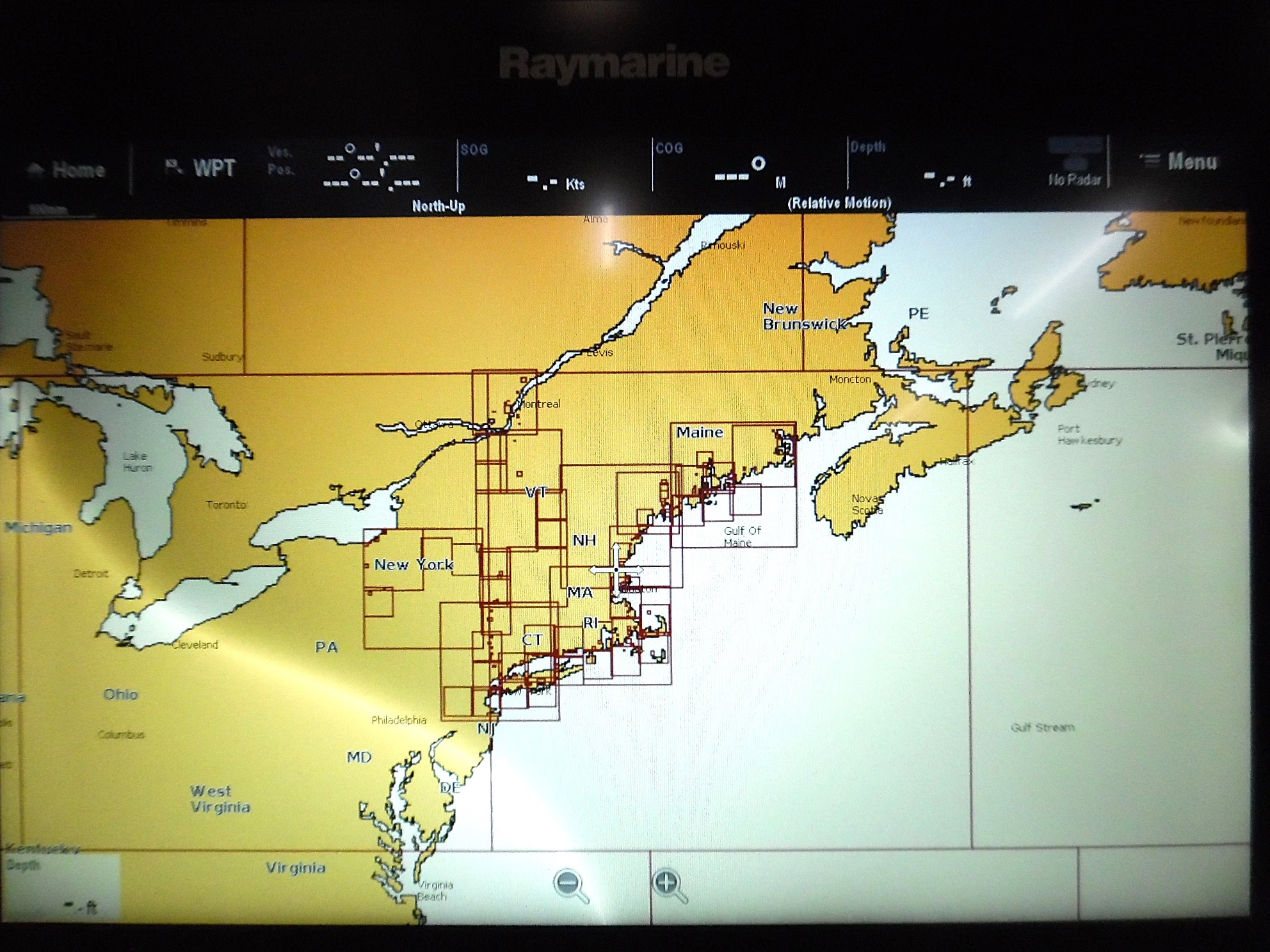
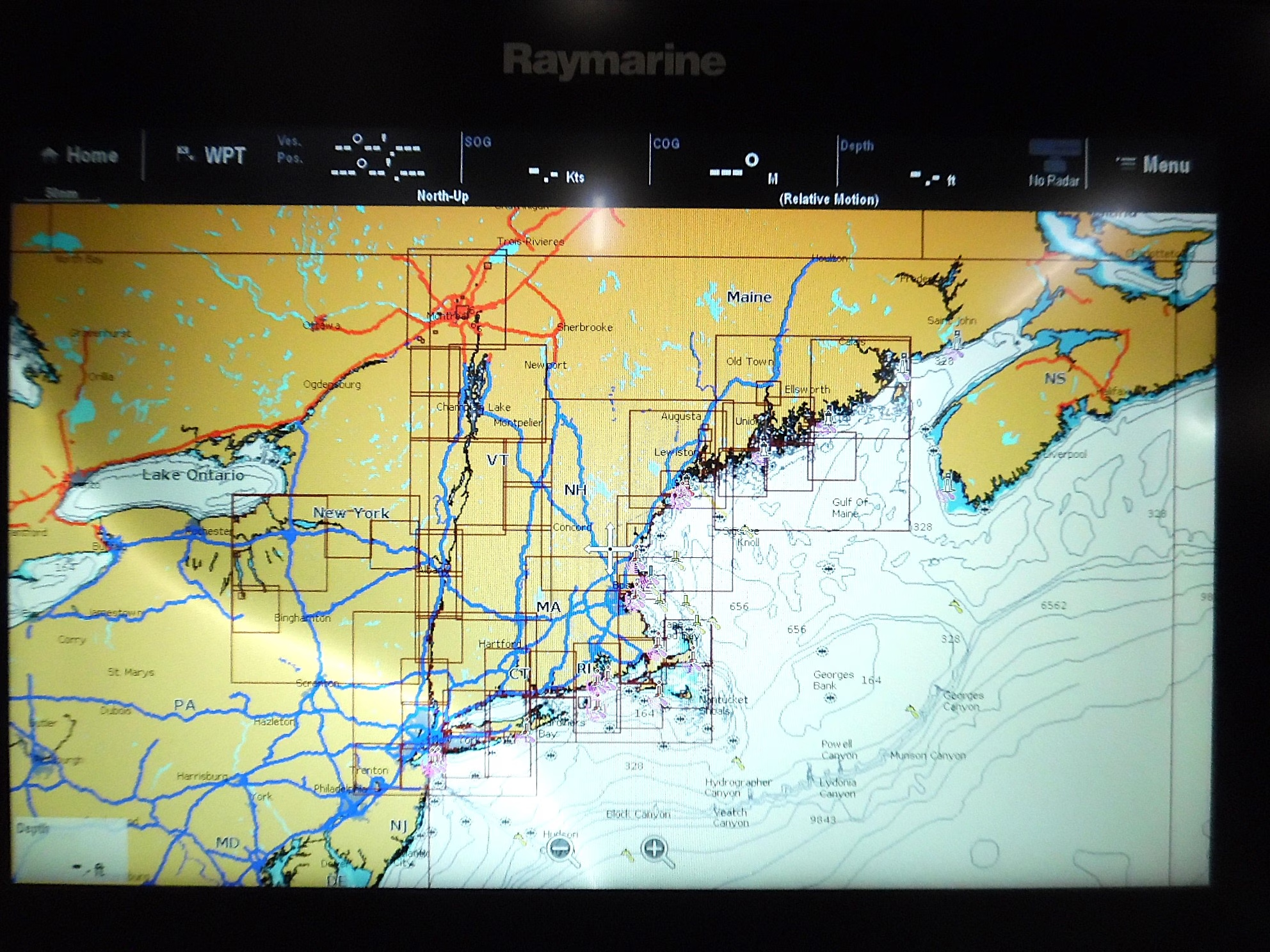
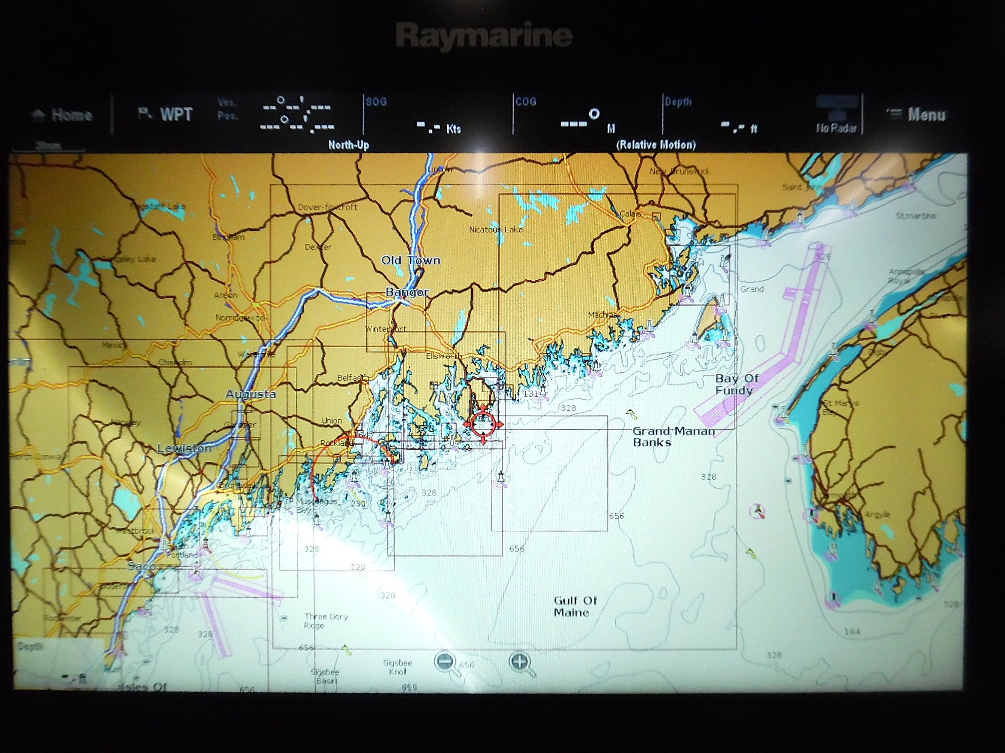
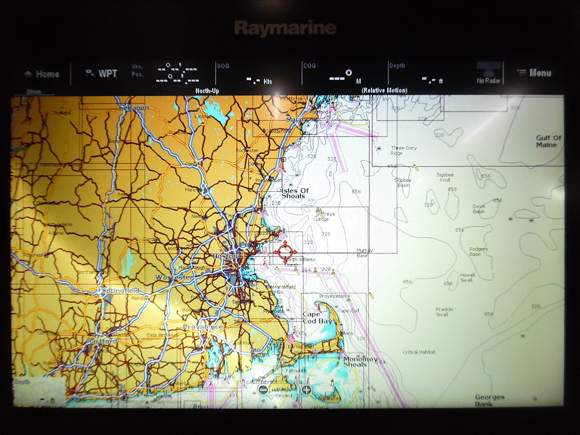
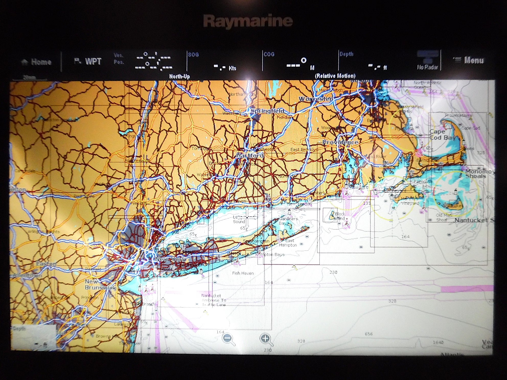
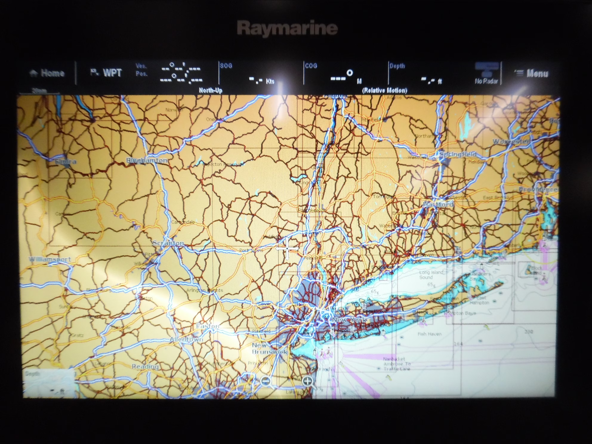
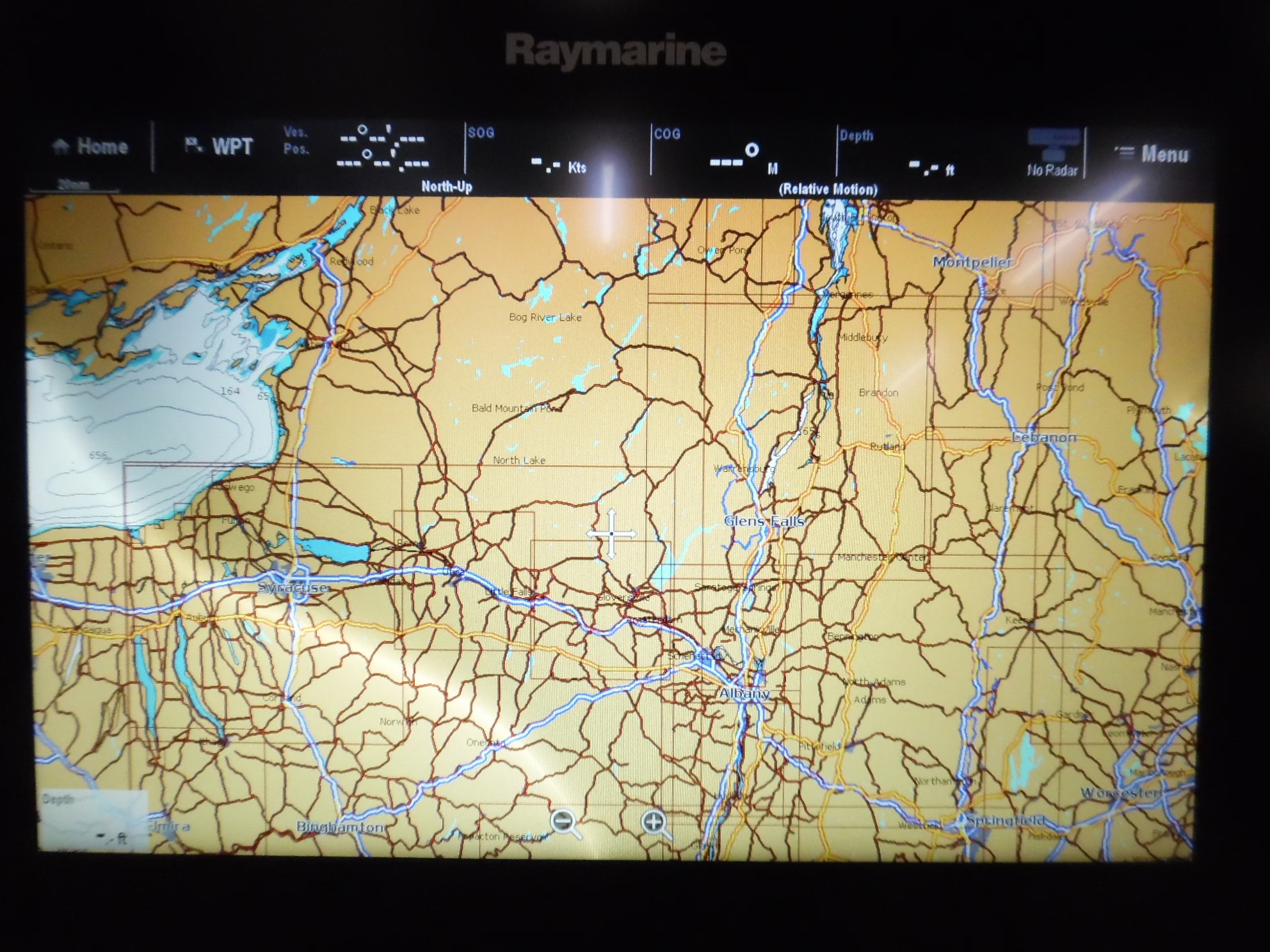
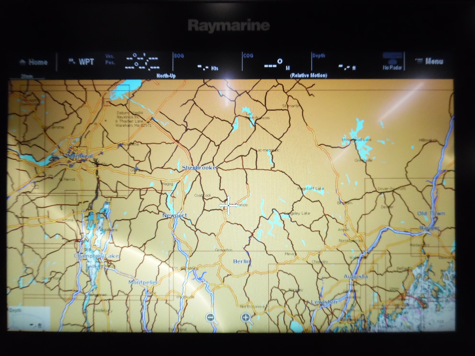
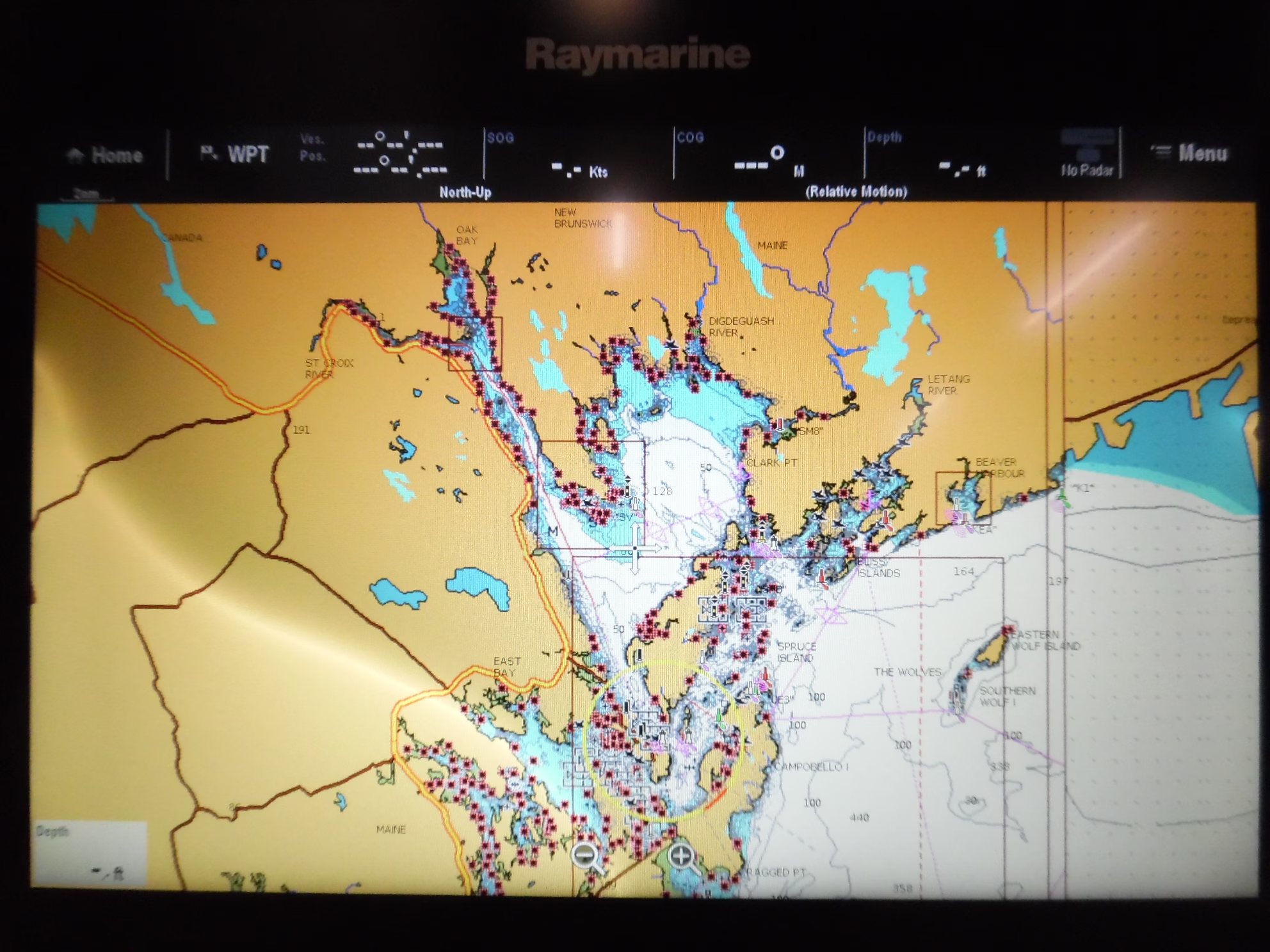
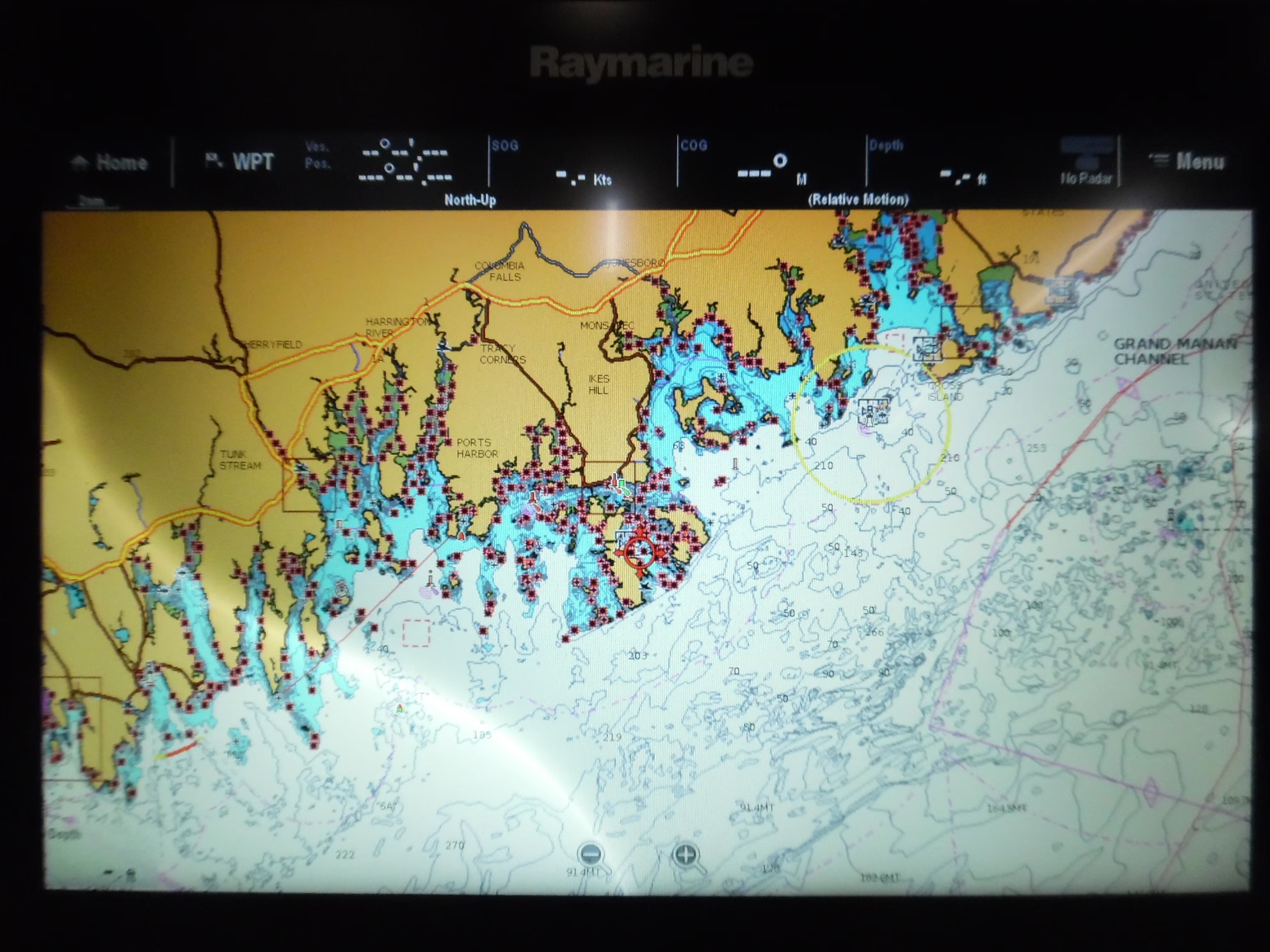
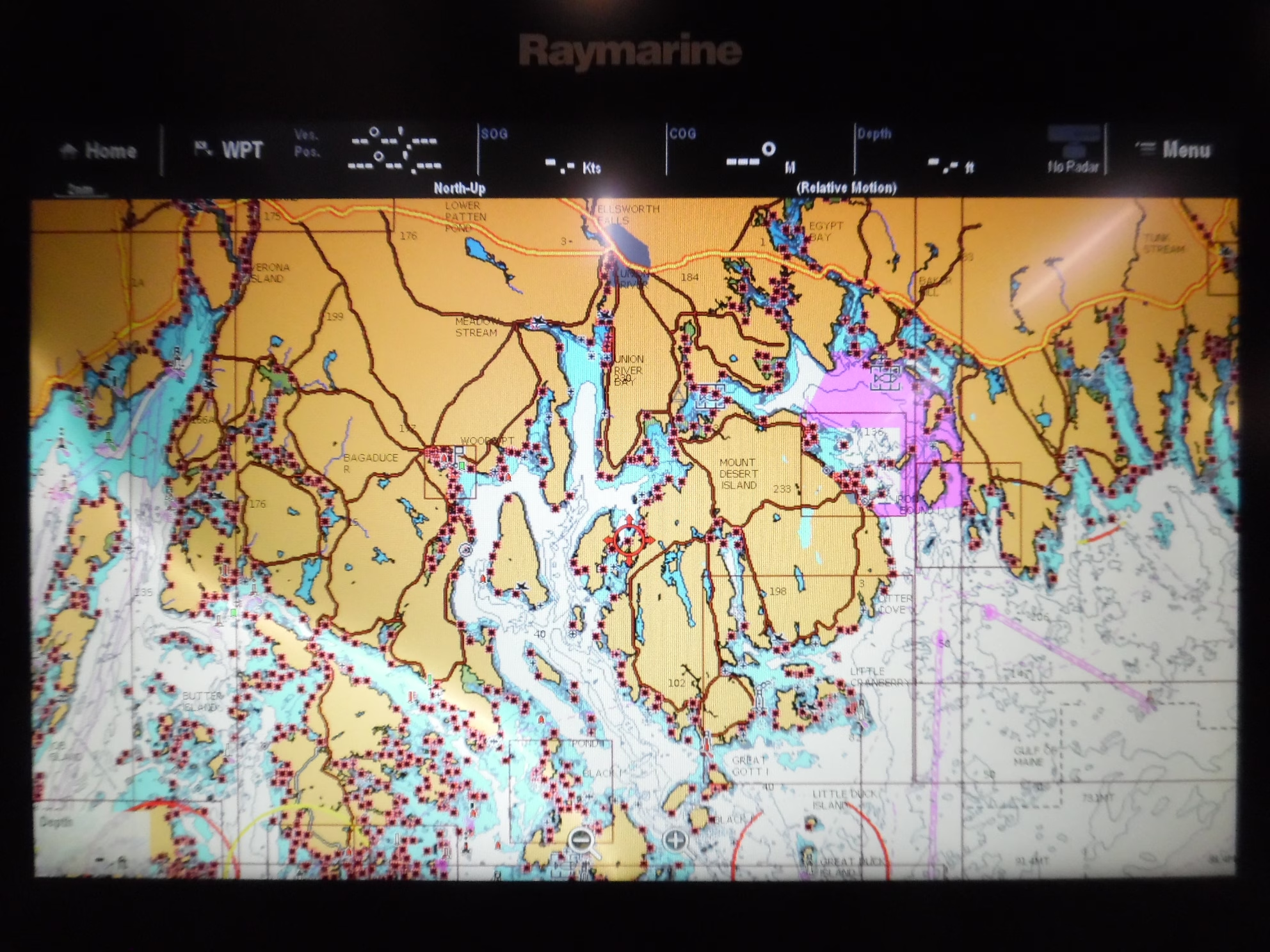
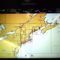
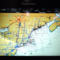
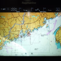
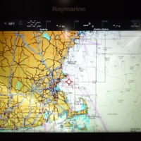
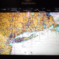
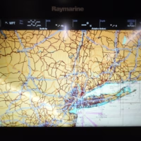
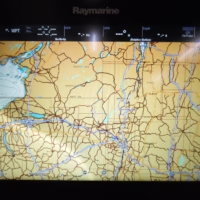
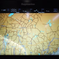
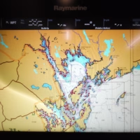
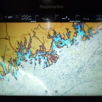
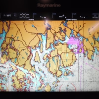
This card covers US NE & CANYONS MAINE, MASSACHUSETTS, NEW YORK, HUDSON RIVER, NORTH ATLANTIC CANYONS From Passamaquoddy Bay and Grand Manan Island to Shark River Inlet, including Hudson River to New York State Barge Canal to Lake Ontario, Oneida Lake, The Finger Lakes, Lake Champlain and bathymetric details of all North Atlantic Canyons from Delaware Bay offshore to Georges Bank and East to 64° West.
**Please see photos showing coverage areas to determine if this card is the correct card for your needs, before purchasing chart card.**
This is an SD FORMAT CARD – not a CF Format! Please verify that your display takes SD Chart Cards prior to purchasing.
What's Included:
- Navionics SD/904G US Northeast & Canyons 128MB