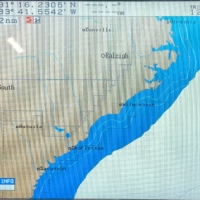
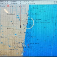
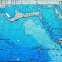
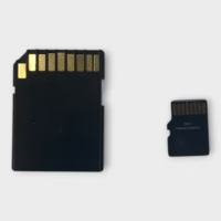
Return Info: 30-Day Returns
Warranty Info: 90-Day Warranty
Dimensions: 1 × 1 × 1 in, Weight: 1 lbs
Shipping Info: Free shipping applies to items being delivered within the contiguous United States (lower 48). HI, AK, PR, and all other US Territories, and International locations will have shipping calculated during checkout. Please be advised if the item is large or is a multi-piece shipment, shipping quotes may be inaccurate due to restrictions outside of our control, in those instances you will be contacted promptly.
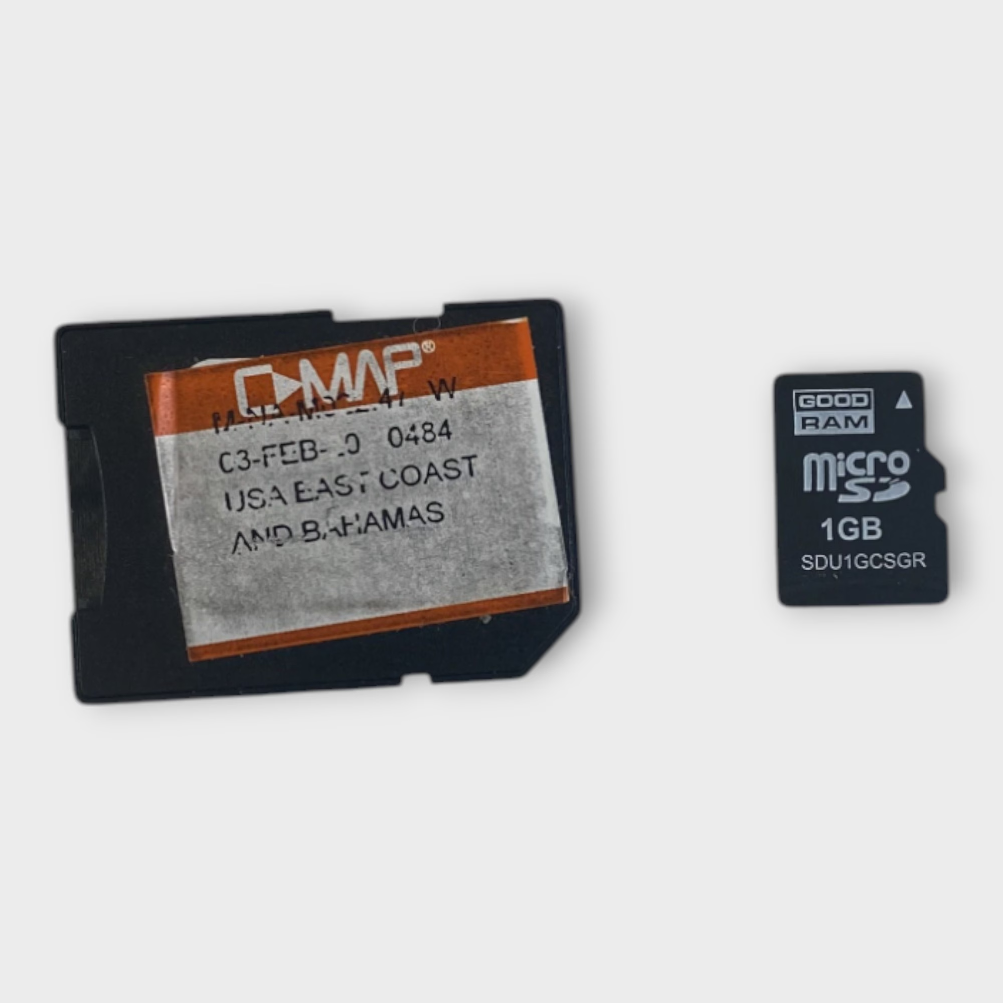
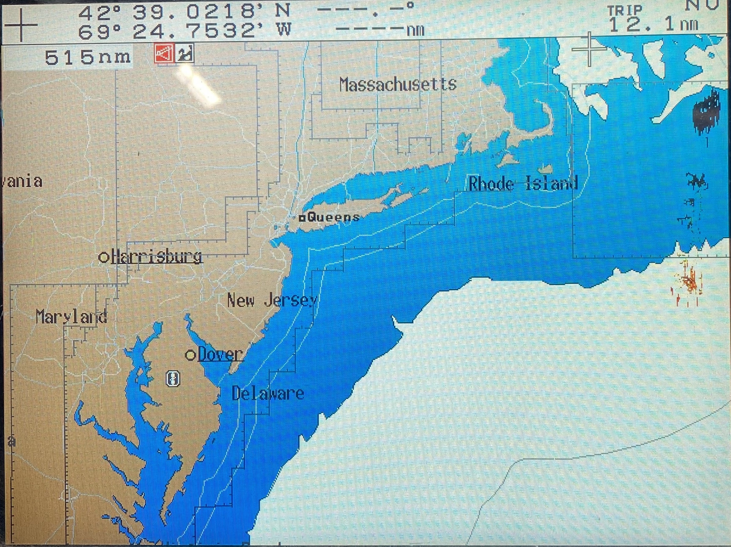
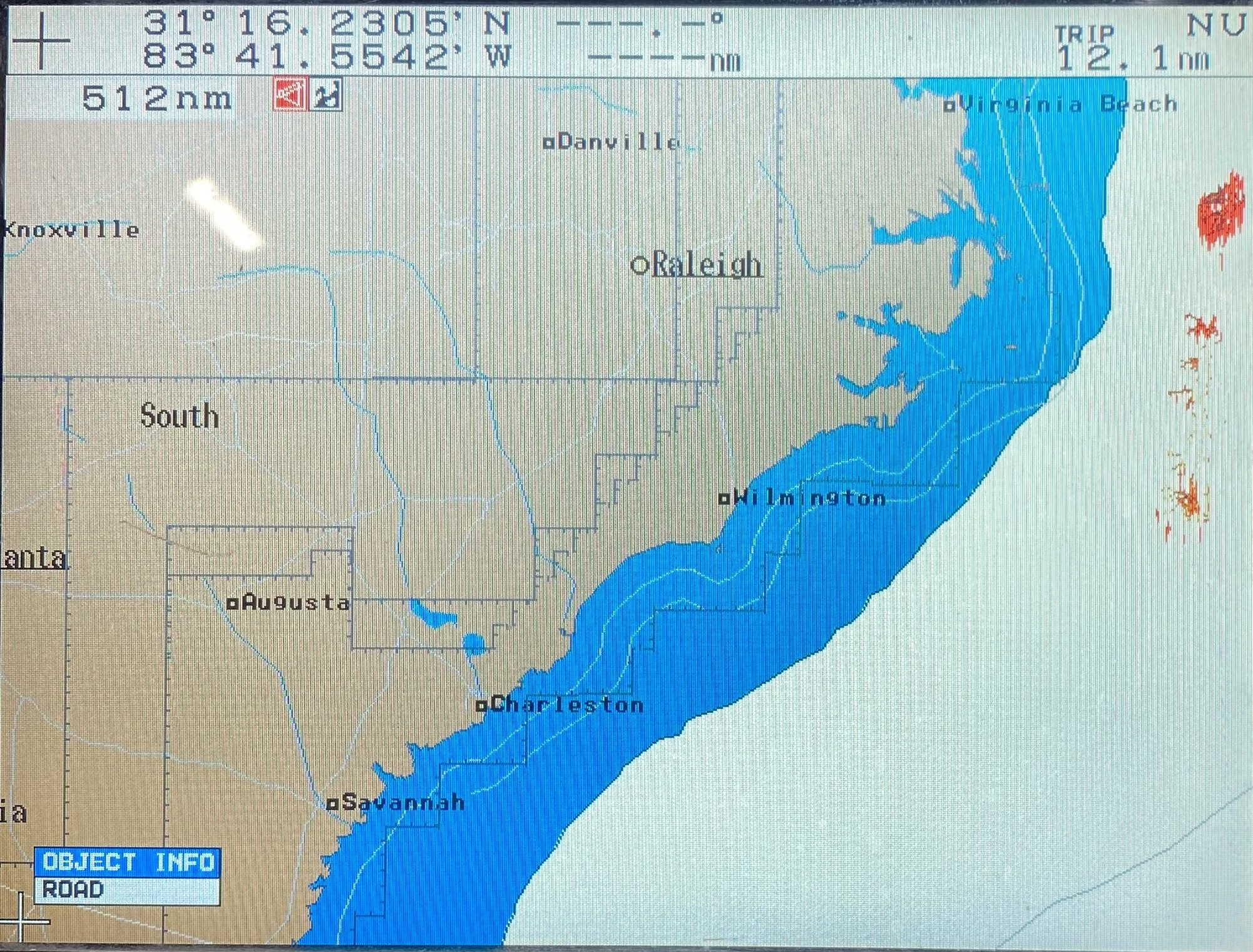
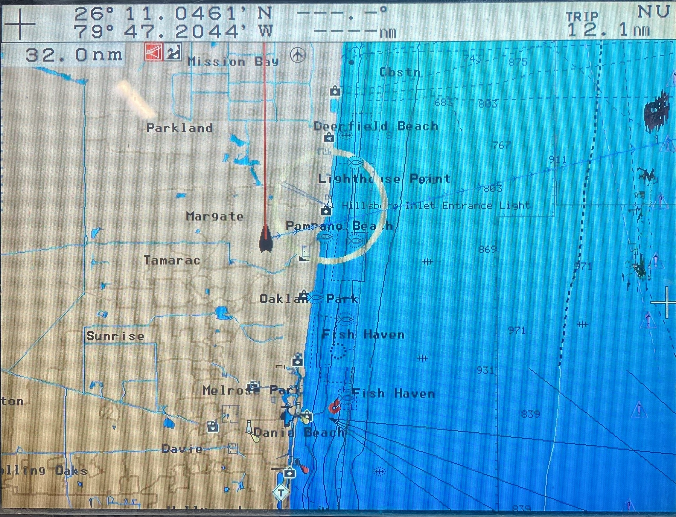
Terms: All items sold at Max Marine Electronics come as you see in the pictures provided, with only the parts and accessories stated in the description section named “What’s Included”. IF YOU DO NOT SEE SOMETHING YOU EXPECT TO BE INCLUDED IN THE DESCRIPTION WE PROVIDE, IT WILL NOT BE INCLUDED. Read all descriptions thoroughly. There are times when a display is used only to show the item being sold is functional and working properly. In this case, these displays are not included. If you have any questions feel free to reach out to Max Marine Electronics. We always want to be transparent with our customers and fully disclose any information regarding the products we sell.
***PLEASE NOTE***Buyers outside the contiguous United States:
We strive to provide accurate shipping quotes at checkout. However, for satellites, radars, large items, or multi-piece shipments, system and carrier limitations may sometimes result in incorrect estimates. If this happens with your order, our team will reach out to you right away to ensure you receive the best possible shipping solution. Your satisfaction is our priority!